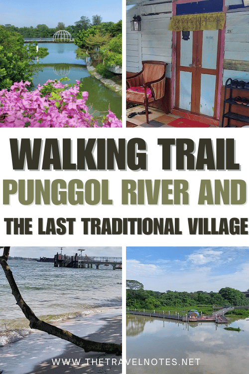
Are you looking to explore a lesser-known side of Singapore? The Punggol River Walk offers a peaceful, scenic escape from the busy city center.
This self-guided 12 km hike takes you through tranquil, serene riverside trails, lush parks, and modern bridges. It also offers stunning views of Coney Island and even the Malaysian coastline.
But the true highlight lies in discovering Singapore’s last surviving kampong village, a rare and exclusive glimpse into the country’s traditional Malay past.
The Last Traditional Village and Hiking Along Punggol River
How to get there?
To get there, take the metro to Yio Chu Kang and then the 72 bus to Bef Yio Chu Kang Rd.
Alternatively, you can get to the Serangoon metro stop and from there take bus 70 to the Ch Of St. Vincent De Paul stop.
If you don’t want to take the bus, take a taxi from the metro stop to Kampong Lorong Buangkok, the first point we will visit.
The walk ends at the Punggol metro stop, where we arrive by taking the LRT at Northshore Plaza.
Map of this hike
This is a self-guided itinerary. On the map above in “Details,” you can download the route in KML or GPX and use it in Maps.me or another application.
You can use it without the Internet while you walk. If you want to use Google Maps, you have to search for each address.
Complete Guide to Hike Punggol River Trail
Featured route:
Hiking Along Punggol River – Singapore’s Last Traditional Village →
Distance: 11.7 km
Duration: Approximately 2.5–3 hours
Difficulty: Medium–Hard (flat terrain but long distance)
Start of This Walk
1. Kampong Lorong Buangkok
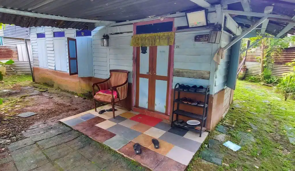
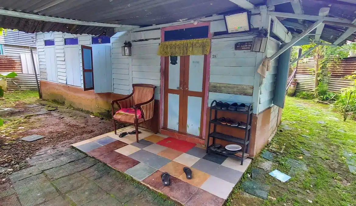
Arriving by taxi, I couldn’t anticipate the charm of Singapore’s last traditional Malay village. The quaint wooden houses, painted in soft pastels amid lush tropical plants, immediately captivated me.
Unlike Singapore’s meticulously groomed landscapes, plants grow freely here, grasses are natural, and paths mix dirt with patches of grass and concrete, lending an authentic feel to the surroundings.
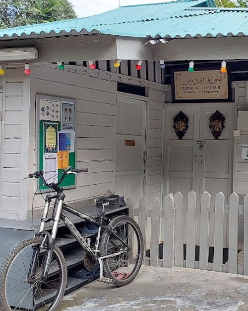
Inside, a guide narrated tales to a small group of tourists about this time-honored Kampong, which has stood since the 1950s across its modest 3-acre expanse.
Despite numerous proposals to develop the land and relocate its residents, they staunchly defend this cultural oasis that preserves Singapore’s heritage. Though small, it’s a visit worth making if you’re in the area, hoping it remains unchanged for years.
2. The Punggol Park Connector
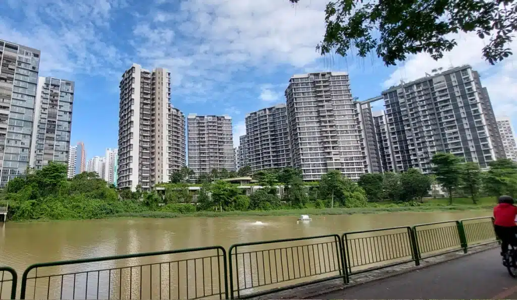
Adjacent to Kampong Lorong Buangkok lies the entrance to a park connector, a 36-km network of paths for pedestrians, cyclists, and skaters linking parks and green spaces across the island.
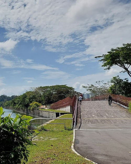
I encountered a diverse crowd along the Punggol River — from young children on training wheels to elderly joggers in vibrant sportswear. Punggol residents embrace outdoor activities with enthusiasm and vigor.
3. Sengkang Floating Wetland
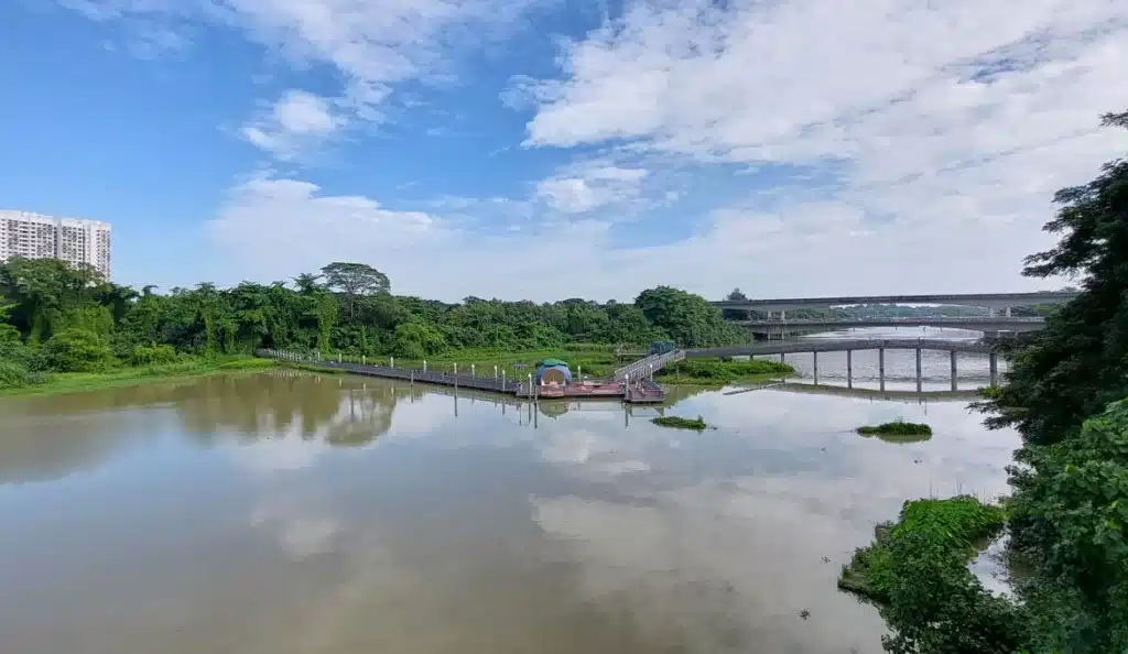
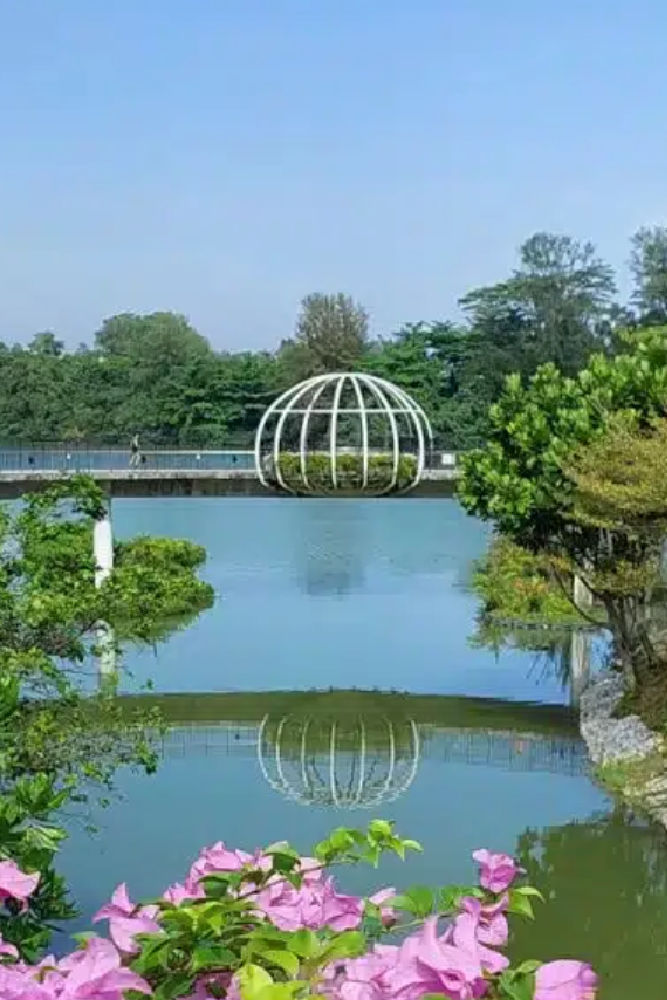
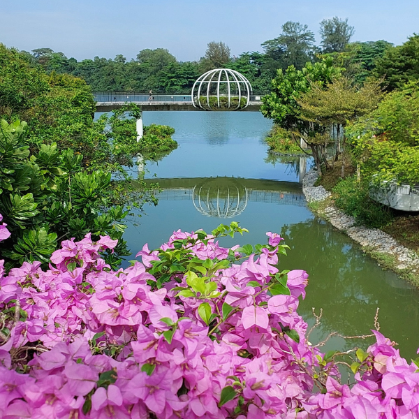
I captured this photo from the bridge just before reaching the Sengkang Floating Wetlands on a day blessed with a clear, azure sky following days of rain. Walking through these gardens, which float above the freshwater reservoir of the Punggol River, is a delight. I admired the diverse plant life and hoped to spot some birds that call this habitat home.
The Sengkang Floating Wetlands is Singapore’s largest man-made floating wetland, distinguished by its fruit-themed concept infuses the area with a playful and vibrant ambiance.
4. The Jewel Bridge
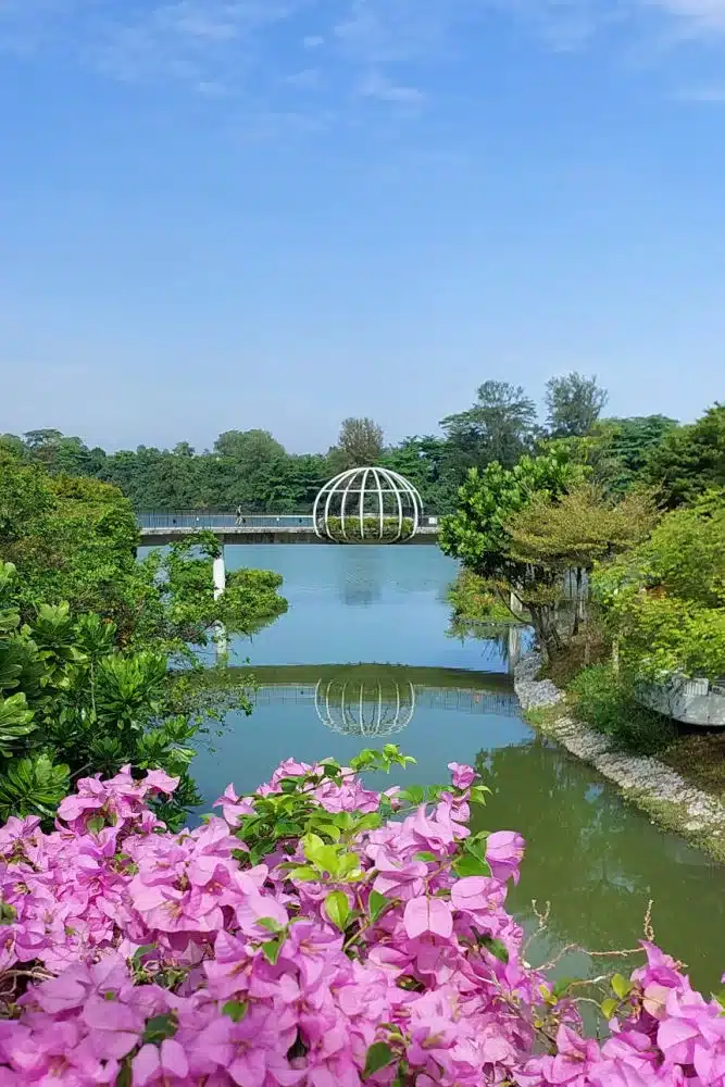
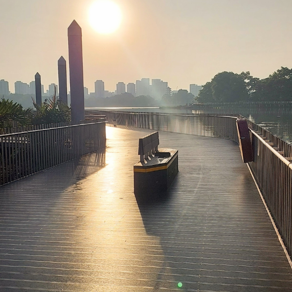
The Jewel Bridge is inspired by a jewel placed on a ring and stands discreetly, connecting the city with nature.
I was there during the day, but I think it is a nice place to enjoy the sunrise and sunset over the serene waters.
5. Punggol Waterway Park
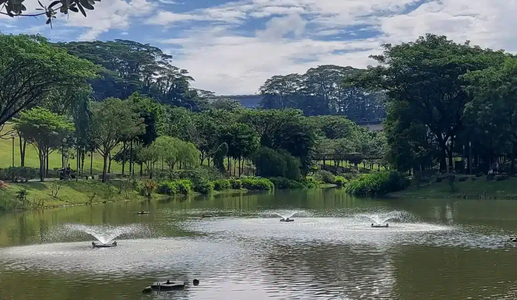
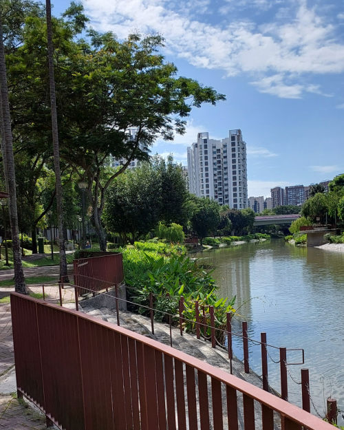
The walk continues along a path along the river. In some parts, intense sun accompanies us, but the shade of the trees in some sections is very appreciated.
As we move forward, we see some bridges, gardens, and fountains that blend with nature in the middle of the city.
6. Passing in Front of Coney Island
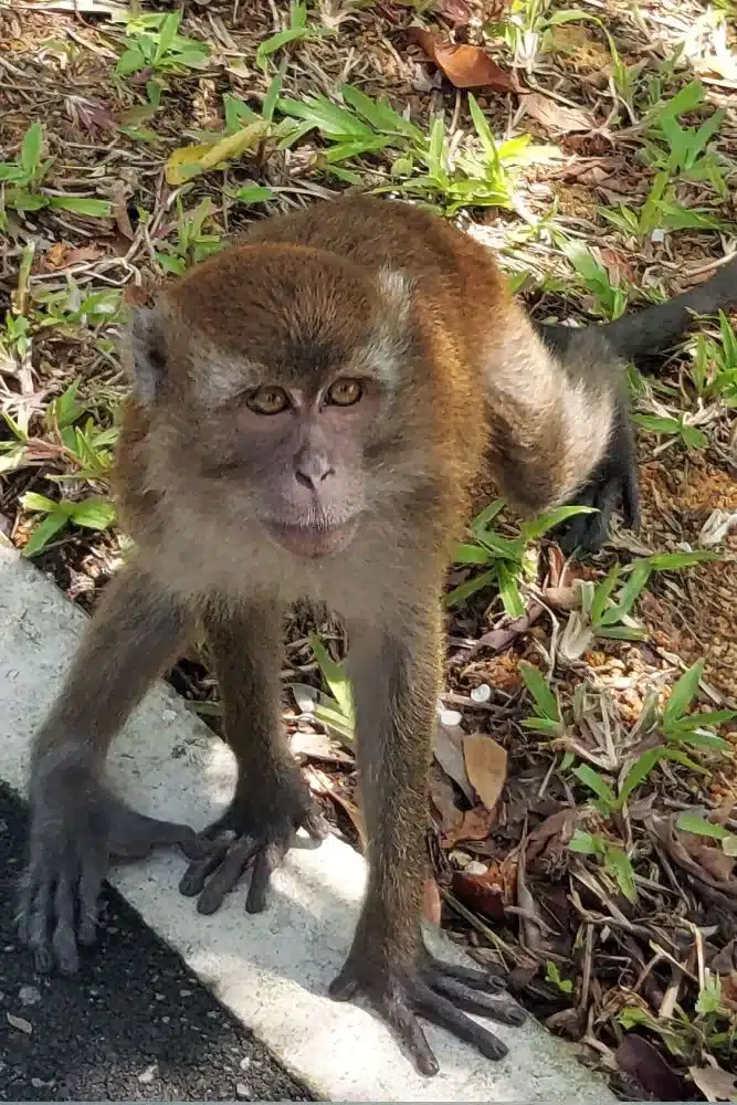
The route continues along a path where the vegetation changes. The trees remind me of European Pines, but they are Casuarina trees.
Casuarinas are tall, conical-shaped trees with needle-like branches and fruits that resemble small durians.
The monkeys swung from branch to branch. Some groomed each other while others watched to see if any passers-by brought food.
This road passes in front of the entrance to Coney Island
7. Taking a break
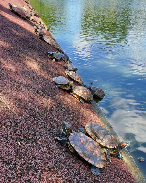
At a certain point, we came across a row of restaurants. This is a good place to take a break; you can buy drinks or refill your water bottle here. Past the restaurants, there are restrooms.
The small square has a fountain with many turtles enjoying the sun.
8. Walking Along the Beach
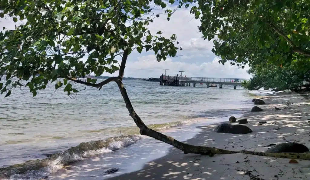
The path to the LRT station does not have shade, but it runs along the beach, which is nice.
Unfortunately, it was not very clean; I saw a lot of garbage trapped between the roots of the trees that leaned over the calm water of the beach.
End of This Hike
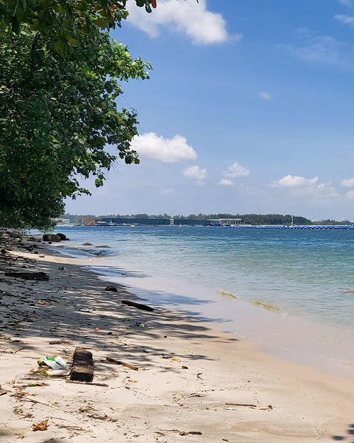
Finally, we arrived at the Northshore Plaza shopping center, where we had lunch, enjoyed the cool air conditioning, and took the LRT to the Pungool metro station.
Tips for Planning This Walk
It is preferable to start early to avoid the sun and heat.
Bring enough water to stay hydrated during the walk; Singapore is always very hot.
Bring a cap or hat to protect yourself from the sun, as many areas along the route lack shade. Also, bring some snacks, as there are few shops along the way.
Discover More Hikes Across Singapore
Looking for more great trails? These hikes offer nature, history, and stunning views around the island.
This hike is part of our 10 Best Trails in Singapore
-
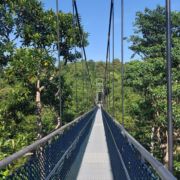 Windsor Nature Park – Tropical Forest & TreeTop Walk
 -
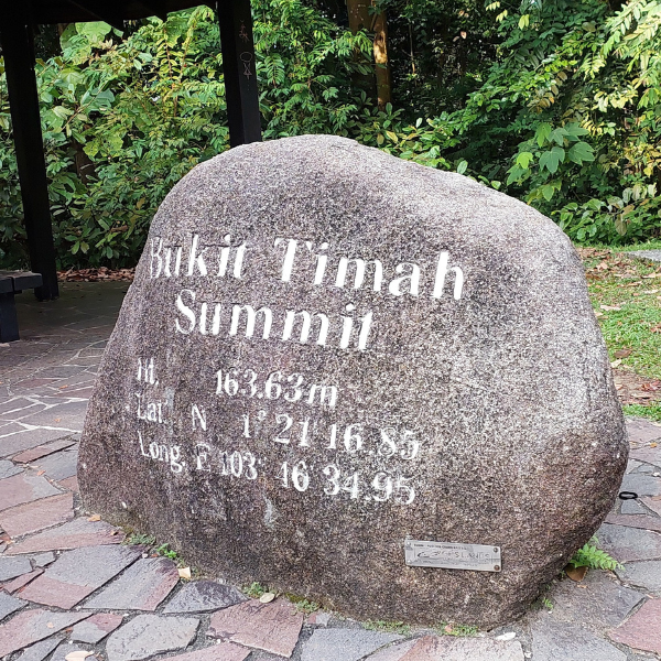 Bukit Timah – Singapore’s Highest Peak
 -
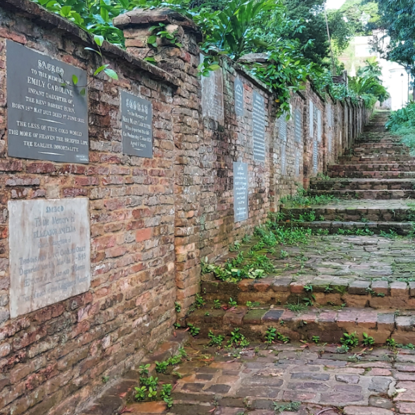 Fort Canning – History Among Nature
 -
 Botanic Gardens – Hidden Trails & Heritage Trees
 -
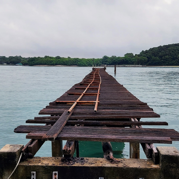 St. John & Lazarus Islands – Tropical Escape
 -
 Bukit Brown – Forgotten Cemetery Trail
 -
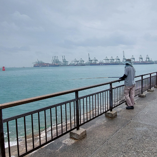 Southern Ridges to Labrador Park – Coast & Canopy
 -
 Punggol River – Village Remnants & Nature
 -
 Jurong Lake Gardens – Lakeside Beauty
 -
 Sungei Buloh – Wetlands & Wildlife
Pin this post
